First Western disturbance May affect from 25-27 over Jammu and Kashmir Jan Morning under its influence, Light/ moderate snowfall are possible over higher reaches of kashmir with light snowfall over higher reaches of Ladakh on 25 January evening and 26 January. light rain/snow showers can occur over few plains of Kashmir especially on 26 January.overall nothing major is expected.
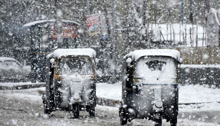
2nd Western disturbance are expected from 28 January -30 January morning/afternoon under its influence, oderatesnowfall are possible over higher reaches of Jammu and Kashmir including Doodhpatri, Gulmarg, Pahalgam, Sonamarg, Gurez, Sinthan top and peer ki gali with chances of heavy snowfall over few parts . forecast for kashmir plains as per current analysis, light to moderate rain /snow are expected with few inches of snowfall possible over some plains , during this period Jammu City can see light/moderate rain showers along with Snowfall over higher reaches.
3rd Western disturbance May affect from 30 late night/31st morning -02 February (60-70%)
As per current indication it’s intensity will be higher than previous WDs .( In coming days I will share more updates regarding this Wet spell.
Note :
- 1 No continuous precipitation/snowfall is expected anywhere.
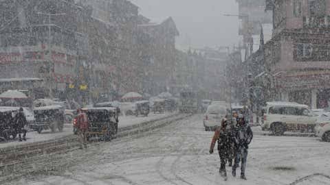
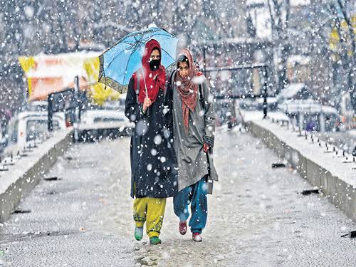
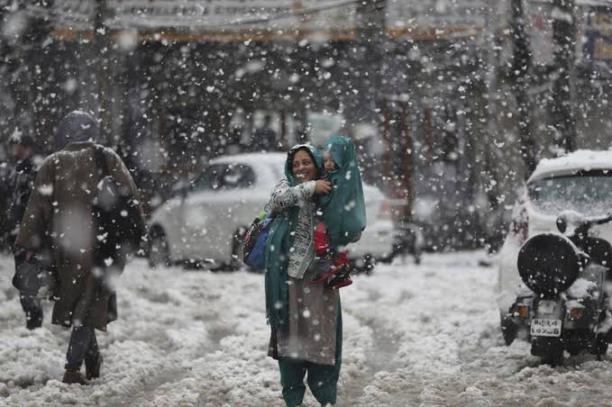
- 2 Mostly cloudy sky + intermittently rain/snow showers are expected over most parts 25 January evening to 02 February particularly higher reaches.
- 3 Day temperature will significantly drop from 25 January onwards.
- 4 Seasons first snowfall are possible over plains of Kashmir maximum chances from 2nd Western disturbance or 3rd Western disturbance.