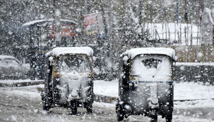
Fresh Weather Update For Jammu & Kashmir For Next 6 Days-Finally Snowfall in Kashmir
Weather Update for 25th Jan:
Nothing significant is expected. A minor snow shower can occur at one or two places in higher reaches. (Forecast Confidence = 95%)
26th Jan:
Nothing significant is expected. A minor spell of snow is expected in a few places in higher reaches. (Forecast Confidence = 80%)
27th Jan:
Nothing significant is expected. Though a couple of models are hinting of a spell of rain/snow in a few areas towards evening/night. (Forecast Confidence = 65%)
28th Jan:
Nothing significant is expected till late afternoon at least. Possibility of commencement of the next spell towards evening or during the late night. (Forecast Confidence = 75%)
29th Jan:
- Possibility of light to moderate rain/snow in some parts of Jammu and Kashmir.
- Moderate snowfall can occur in some higher reaches.
- Weather models are not indicating any major spell of snowfall this time in plains, especially for central and south Kashmir plains.
(Forecast Confidence = 60%)
(Changes in Forecast Possible)
30th Jan:
Nothing significant is expected as per the current conditions.
(Forecast Confidence = 80%)
Note:
1. Conditions for 31st Jan are being monitored. There have been indications of another spell from this date onwards, however, only in the coming days it will get clear.
2. Conditions for 29th Jan are subject to change. There can be a further decrease in expected intensity or an increase. Forecasts will be continuously updated for 29th Jan.
3. For Tourists, Sinthan Top remains closed during the events of snowfall. As such, plan your activities accordingly and stay updated with the latest forecasts.
4. The upcoming spell may bring a slight relief, however, many more spells are required to compensate the deficit J&K has faced during the last 2 months.

Minimum temperature continued to be below freezing point even as weatherman has forecast possibility of wet spell from January 25 to February 1.
A meteorological department official here told GNS Srinagar recorded a low of minus 5.0°C against minus 5.3°C on previous night and it was 2.7°C below normal for the summer capital of J&K for this time of the year.
Qazigund recorded a minimum of minus 4.8°C against minus 5.2°C on the previous night, he said. The minimum temperature was 0.9°C below normal for the gateway town of Kashmir, the MeT official said.
Pahalgam recorded a low of minus 6.2°C against minus 6.9°C on the previous night and it was 1.3°C above normal for the famous resort in south Kashmir.
Kokernag, also in south Kashmir, recorded a minimum of minus 1.5°C against minus 2.6°C on the previous night and the temperature was above normal by 2.1°C for the place, the official said.
Kupwara town in north Kashmir recorded a low of minus 4.9°C against minus 6.0°C on the previous night and it was 2.0°C below normal there, the official said.
Gulmarg, the official said, recorded a low of minus 4.0°C against minus 4.5°C on the previous night and the temperature was 3.7°C above normal for the world famous skiing resort in north Kashmir.
Jammu, he said, recorded a minimum of 5.0°C, same as on the previous night, and it was below normal by 2.0°C for the winter capital of J&K.
Banihal recorded a low of minus 1.8°C, Batote 1.6°C and Bhaderwah minus 0.4°C, he said.
Kashmir valley is under ‘Chillai-Kalan’, the 40-day harsh period of winter, which will end on January 29. However it does not mean an end to the winter. It is followed by a 20-day-long period called ‘Chillai-Khurd’ that occurs between January 30 and February 19 and a 10-day-long period ‘Chillai-Bachha’ (baby cold) which is from February 20 to March 1. (GNS)
RECENT POSTS:
- Young Boy Passes Away in Sleep Due to Electric Blanket- Remember These Safety Measures During Winter